Phillips Reservoir, at highest level since 2017, rising slowly again
Published 7:23 am Monday, June 2, 2025
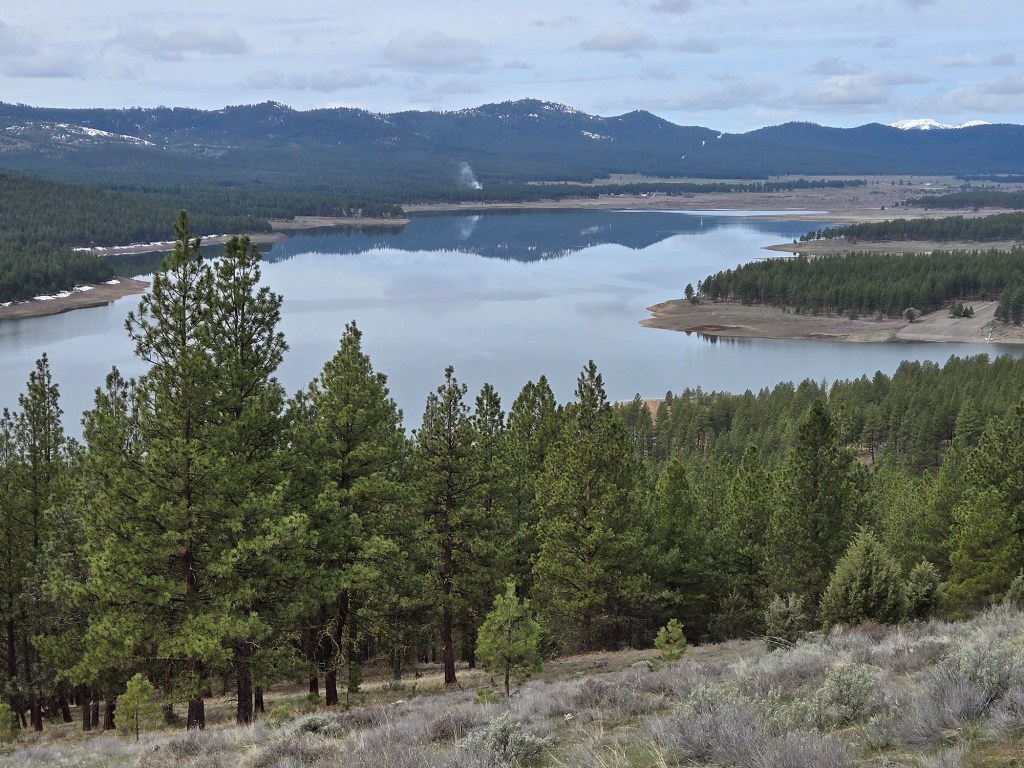
- Phillips Reservoir on April 11, 2025. (Jayson Jacoby/Baker City Herald)
After dropping slightly for a week or so in May to slake the thirsts of farms and ranches in Baker Valley, Phillips Reservoir is rising again.
Albeit quite slowly.
The irrigation reservoir along the Powder River in Sumpter Valley, about 17 miles southwest of Baker City, is holding more water than it has in nearly eight years.
As of Monday morning, June 2, the reservoir’s volume was 60,200 acre-feet. That’s the most since late July 2017, and this first time since that year that the reservoir has topped 60,000.
(One-acre foot of water would cover one acre of flat ground to a depth of one foot. It also equals about 326,000 gallons.)
The reservoir, created in 1968 by the construction of Mason Dam, hasn’t reached its official capacity, 73,000 acre-feet, since June 2017.
(The reservoir can hold another 17,000 acre-feet — up to a total of 90,570 — for flood control.)
A heavy snowpack during the winter of 2023, and a rapid snowmelt that spring, boosted the reservoir to its highest level since 2017, peaking at nearly 54,000 acre-feet.
The reservoir peaked just below that level in the spring of 2024.
In both 2023 and 2024, the Baker Valley Irrigation District, which manages water releases from the reservoir, was able to store much more water, after the irrigation season ends in late summer, than during the depths of the drought, 2020-22.
At times during the drought the reservoir dropped below 1,000 acre-feet.
Multiple factors affect the reservoir level during spring, with snowpack in the mountains being the most important.
This winter’s snowpack was well above average.
But the opposite was true of another key measure — spring rain.
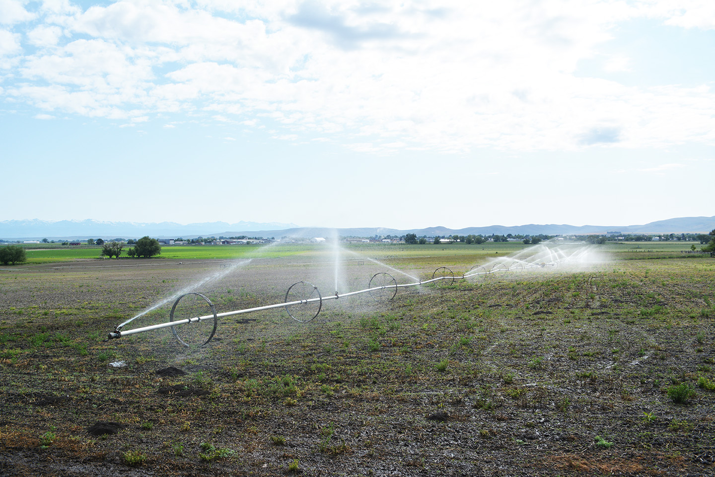
When the spring is damp, farmers and ranchers need less water from the reservoir to irrigate their fields.
But this year, March, April and May were all drier than usual. The total rainfall for the three-month period at the Baker City Airport was 1.24 inches — 41% of average.
Persistent wind exacerbated the situation, leaching moisture from the soil.
As a result, the irrigation district had to start releasing more water from the reservoir starting in late April, which largely offset the glut of water flowing into the reservoir as warmer temperatures melted the snowpack.
The reservoir continued to rise through the first half of May, but slowly. The volume peaked at about 59,400 acre-feet on May 17, then dropped, also slowly, through May 25, dipping to just below 59,000 acre-feet.
But a warm spell in the last week of the month accelerated the snowmelt, and the reservoir level started to rise.
The biggest contributor, the Powder River, has been running between about 270 cubic feet per second (cfs) and 310 cfs at Hudspeth Lane, just west of the reservoir, over the past several days.
Another tributary, Deer Creek, has fluctuated between about 100 and 140 cfs.
The amount of water released from the reservoir was steady at about 277 cfs for about two weeks, before dropping to 230 cfs on Monday, June 2.
The dry spring has returned the specter of drought to Baker County and the rest of Northeastern Oregon.
For much of the winter and spring, no part of the region was in drought or even considered abnormally dry, according to the U.S. Drought Monitor.
But starting the week of May 13, a swath of the region, including the northwest corner of Baker County, was rated as abnormally dry, the level preceding the four categories of drought (moderate, severe, extreme and exceptional).
As of May 20 the area rated as abnormally dry had expanded to include most of Baker, Grant and Wallowa counties, all of Union County and parts of Umatilla, Morrow, Harney and Malheur counties.
Parts of northern Umatilla, Union and Wallowa counties are rated as being in moderate drought.