BLM seeking public’s help in identifying who started fire near Owyhee Dam on Tuesday
Published 6:30 am Wednesday, June 25, 2025

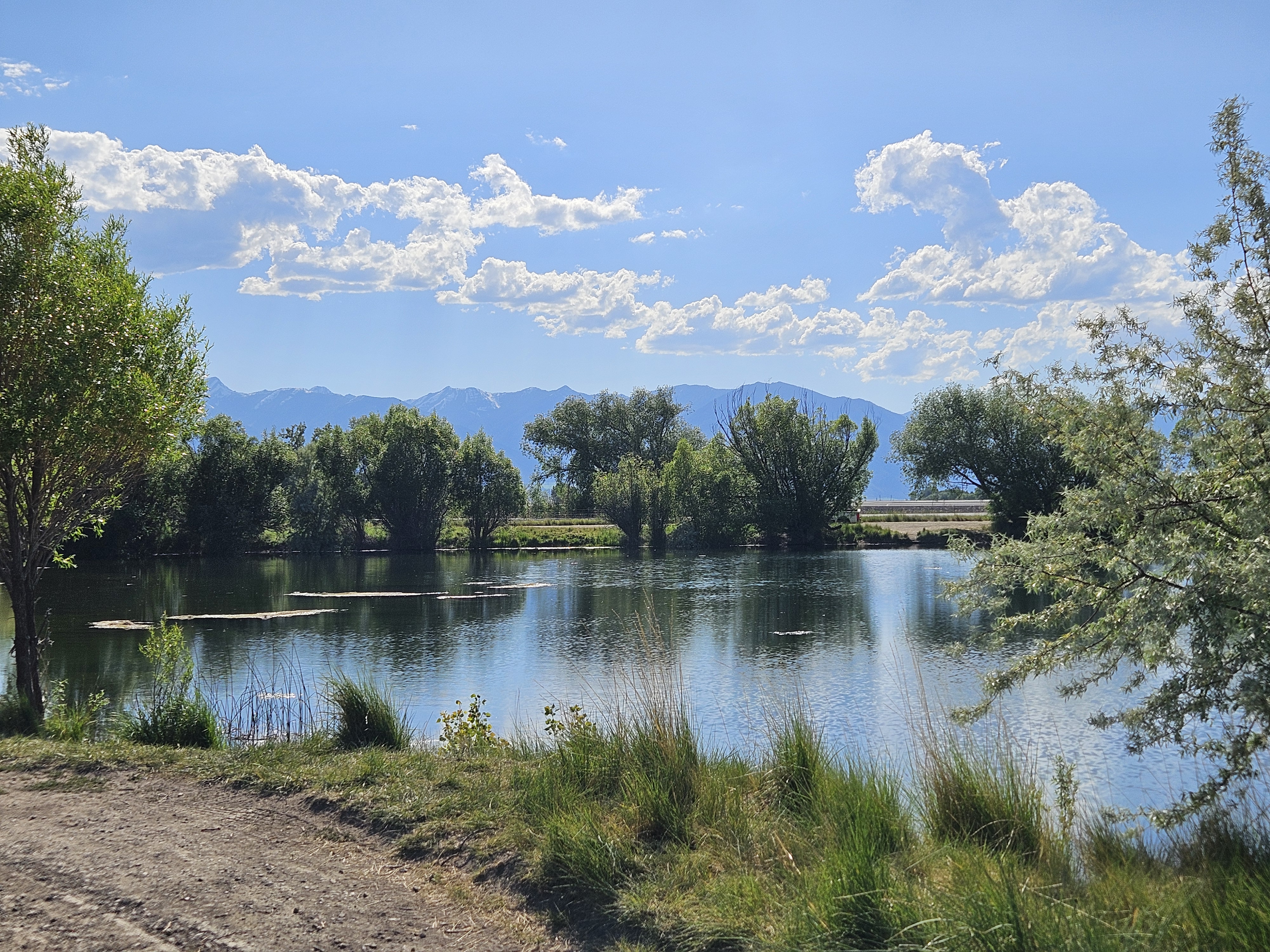
- The human-caused Hot Springs Fire burned 231 acres near Owyhee Dam on June 24, 2025. (BLM Photo)
The BLM is seeking help from the public to identify who started fire that burned about 231 acres near Owyhee Dam in Malheur County on Tuesday, June 24.
Investigators from the BLM, Oregon State Police and Oregon State Fire Marshal’s Office determined the fire was human-caused, according to a press release from the BLM.
Anyone with information about the fire should call 541-473-6361.
Firefighters from the BLM’s Vale District were dispatched to the fire about 12:40 a.m. PDT Tuesday. The blaze started on the west side of Owyhee Lake Road near the Snively Hot Springs Recreation Site.
BLM crews, assisted by the Vale Rangeland Fire Protection Association and Adrian Rural Fire Protection District, as well as four engines, a bulldozer, six aircract and a rappel team from John Day, stopped the fire’s forward progress by about 11:20 a.m.
The fire was contained Tuesday night.
With hot, dry weather predicted over the next several days, BLM officials urged people to keep campfires small and never leave a fire unattended.
Campfires should be doused with water and the embers stirred with a shovel until the fire is cold to the touch.
“Lowering the risk of wildfires is a team effort,” said Al Crouch, fire mitigation specialist for the Vale District. “Thank you for supporting our firefighters and helping to protect our public lands and our local communities.”
The Oregon/Washington BLM Fire Prevention Order prohibits the use of fireworks, tracer, and incendiary ammunition, and exploding or metal targets on public lands. A copy of this order, which will remain in effect through Oct. 31, can be found at https://on.doi.gov/3zs2otL.
All wildfire starts on public or private land should be reported by calling 911.
Small fire on Umatilla National Forest
Firefighters controlled a 1.5-acre fire Tuesday in the Pearson Ridge area, about 12 miles northwest of Ukiah, on Tuesday. The fire was north of the Bear Wallow Campground, which is along Highway 244 between Ukiah and Starkey.
Fire danger escalates after period of cool, damp weather
Computer models that estimate how fast a fire would spread showed record-high, or near record levels, for much of June in parts of Northeastern Oregon.
The level dropped to average, or slightly below average, after three days of cool, and in places damp, weather June 20-22. But with temperatures rising again, the fire spread index — known as the energy release component — has risen begun to rise again. The National Weather Service is predicting temperatures in lower elevations to reach 100 degrees on Monday and Tuesday, June 30 and July 1.
Charts showing the energy release component are available at https://bmidc.org/erc.shtml.