Driest spring on record in Baker County brings back specter of drought
Published 10:06 am Thursday, June 5, 2025


Color is beginning to spread across the drought monitor map for Northeastern Oregon, but Mike Widman doesn’t need to consult a map to gauge how dry this spring has been.
He just looks at the foothills.
The grass, already cured to brown during the driest spring in at least 80 years in Baker County, tells the tale.
“We’re terribly dry, dry as a bone,” Widman, a longtime cattle rancher, said on Thursday morning, June 5.
“We’re right back into drought, I’m afraid.”
Widman is partially right.
From late March through early May, the U.S. Drought Monitor map was bare of color across Northeastern Oregon.
No yellow to indicate abnormally dry conditions.
No brown, orange, red or maroon to show the four stages of worsening drought — moderate, severe, extreme and exceptional.
But starting the week of May 13, a swath of yellow appeared on the map, covering parts of Baker, Union, Wallowa, Umatilla, Morrow and Grant counties.
The rain didn’t come.
May, statistically the wettest month in Baker County with an average of 1.42 inches, brought just 0.37 of an inch to the Baker City Airport. Only three Mays were drier since 1943 — 1950 (0.04), 1965 (0.18) and 2002 (0.29).
For the week of May 27, the yellow splotch on the drought map had spread. And it was accompanied by a patch of brown, indicating moderate drought, across sections of northern Umatilla, Union and Wallowa counties.
On the most recent map, released June 5, the moderate drought designation covers most of Union County, much of the western half of Wallowa County and the eastern one-third of Umatilla County. Brown has also spread into parts of northern Baker County.
Farmers and ranchers hardly need a map, of course, to understand how parched the past three months have been.
“The lack of rain is pretty scary,” said Amanda Bunch, who with her husband, Levi, owns a cattle ranch near Durkee, in Baker County about 25 miles southeast of Baker City.
The scarcity is historic as well.
From March 1 through May 31, rainfall at the Baker City Airport totaled 1.24 inches. That’s the scantiest amount for that period since at least 1944, the first year for which complete rainfall records exist from the airport.
The rainfall for the three months is 41% of average, which is 3 inches.
The previous record for the period is 1.28 inches, in 2021. Other notably dry springs at the airport are 1982 (1.33 inches) and 1950 (1.38).
And there is no immediate prospect that the dry trend will end.
No rain fell at the airport in the first four days of June, and the National Weather Service is not forecasting any moisture through at least June 11.
June is the second-wettest month, with an average of 1.24 inches.
“I’d love to see it sock in and soak us, but that looks like a pipe dream,” Bunch said on Thursday, June 5.
Positive signs amid a fledgling drought
The situation is not wholly negative, said Mark Ward, whose family grows potatoes, wheat, peppermint, alfalfa and field corn in Baker Valley.
Ward said on Thursday, June 5, that the soil still is holding some of the moisture it absorbed from rain last fall and from winter snow.
He appreciated that damp soil while planting the potato crop earlier this spring.
“We weren’t planting into dust,” Ward said.
The drought was much more severe from 2020-22, he said.
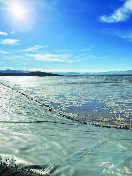
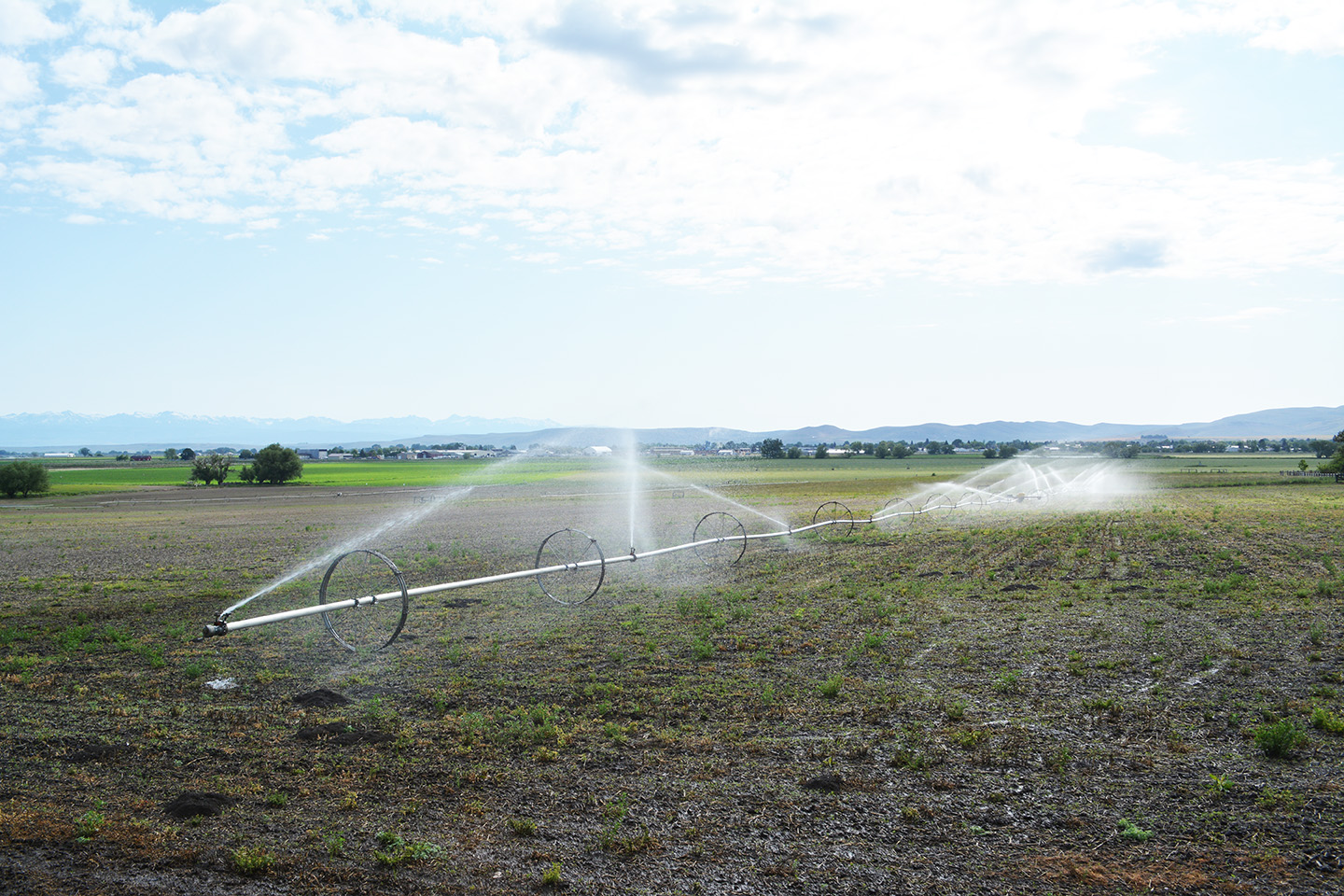
Another measure of the difference between then and now is Phillips Reservoir. The impoundment on the Powder River, about 17 miles southwest of Baker City, supplies irrigation water to more than 30,000 acres, including some of the Ward family’s crop fields.
This week the reservoir, buoyed by an above-average mountain snowpack, reached about 60,500 acre-feet, the most since late July 2017, almost eight years ago.
“For crops we’re in great shape — plenty of water,” Ward said.
Which isn’t to say he would have preferred a damp spring rather than the desiccated version that Baker County endured.
Spring rains deliver a bit of nitrogen, a natural fertilizer, to the fields, Ward said.
Moreover, an abundance of rain during the spring allows the Baker Valley Irrigation District, of which Ward is a board member, to store more water in Phillips Reservoir. This year, with rain scarce, the district had to start releasing significant volumes of water from the reservoir starting in early May. If rainfall had been average this spring, the reservoir might have filled — 73,000 acre-feet — for the first time since June 2017.
Lots of wind, little rain a troubling combination
Although rainfall has been meager since March, there’s been a wealth of wind.
Not that farmers value the incessant gusts.
Wind leaches moisture from the top layer of soil, largely negating the benefits of rain.
“In April and May we had a couple of good storms, but then the wind blew for the next three days,” Bunch, the Durkee area rancher, said. “If we got half an inch of rain we got three inches of wind,” she said with a rueful chuckle. “The wind sucks it right out.”
Bunch, whose ranch was partially burned in the Durkee Fire in July 2024, Oregon’s biggest blaze of the year at 294,000 acres, said native grasses such as wild rye and bunchgrasses, which are vital forage for cattle, are thriving in some places where the fire burned relatively lightly.
The grass has been slower to recover in areas where the fire burned hotter, Bunch said.
She hasn’t seen a major influx of invasive species such as cheatgrass and medusahead, however.