March storms keep snowpack near record levels in some parts of NE Oregon
Published 10:31 am Saturday, March 22, 2025
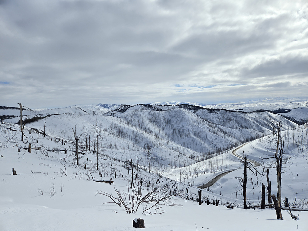
- A snowy scene from near Dooley Summit south of Baker City. (Lisa Britton/Baker City Herald)
After a lull in early March, a series of wintry storms over the past 10 days or so has replenished the mountain snowpack in Northeastern Oregon.
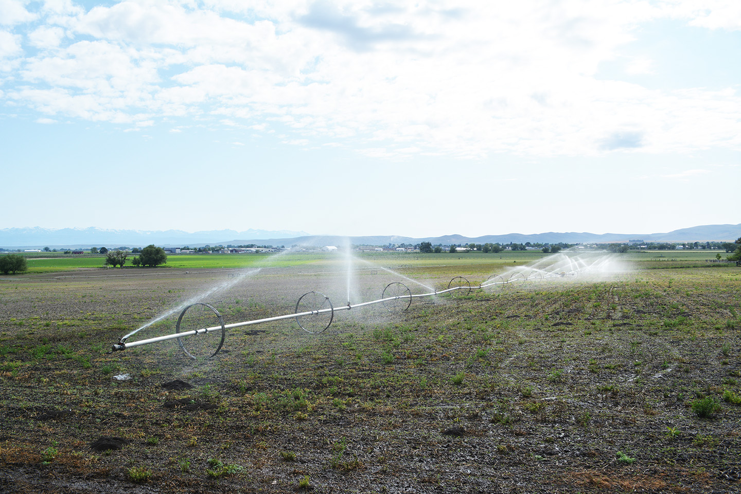
The water content in the snow — a key source of water for irrigation and recreation this summer — is at record highs for this time of year in some areas.
Two automated measuring sites in the Elkhorn Mountains had a record water content as of Friday, March 21.
Eilertson Meadow, on the east side of the Elkhorns along Rock Creek, reported a water content of 16.9 inches that day, twice the average for March 21.
The previous record was 16.5 inches in 2019. The measuring station was installed in 1981.
At Gold Center, along the Sumpter-Granite Highway west of the Elkhorns, the water content March 21 was 17.5, the second-most for that date and 230% of average. The record is 18.7 inches, set in 2006.
The snowpack situation is more mixed in the Wallowas, with the southern half of the range faring better than the northern.
At Schneider Meadow, in the southern Wallowas, the water content March 21 was 42.1 inches, 68% above average and runner-up for the date behind only 1999, when the water content was 52.6 inches.
At Taylor Green, in the western Wallowas near West Eagle Meadow, the water content was 29.3 inches, a record for the date and 53% above average.
The measuring station near Tipton Summit, along Highway 7 between Sumpter and Austin Junction, the water content March 21 was 20.2 inches, 91% above average. The record for the date is 20.5 inches in 1989.