Cold snap sets another record at Baker City Airport
Published 5:41 am Wednesday, February 12, 2025
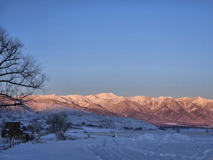
- Alpenglow on the Elkhorn Mountains during a record-setting cold snap in February 2025.
Another day, another record-breaking low temperature at the Baker City Airport.
As of 8 a.m. Wednesday, Feb. 12, the temperature had plunged to 22 below zero at the airport, easily breaking the previous record of 7 below set in 1948 and making it one of the colder days on record during February. It’s the latest in the year for a temperature of 20 below or colder.
Today is the second straight daily record low.
The official low for Feb. 11 was 14 below zero, breaking the record of 4 below set in 1982.
The new record for Feb. 11 was actually set in the final hour of the day. The low on Tuesday morning was 9 below zero, but with clear skies the temperature dropped fast in the day’s waning hours and the minimum was reached late in the day rather than early as is usually the case.
Today is the coldest day at the airport in more than eight years. The low was 24 below zero on Jan. 5, 2017, and 23 below on Jan. 6, 2017.
This is the lowest temperature in February in 36 years. The cold snap in February 1989 was one of the more severe on record at the airport, with the temperature dipping below 20 below zero on six straight days. The lowest temperature, 28 below, was on Feb. 7, 1989. Today’s low of 22 below is the coldest February day since Feb. 9, 1989, when the low was also 22 below.
Today does mark a milestone of sorts, however.
This is the coldest day on record later than Feb. 10. Most February days of 20 below or colder at the airport happened in the first week of the month. Prior to today, the coldest day, this late in the year, was 17 below on Feb. 10, 1982.
The latest subzero day on record at the airport is March 5, 1955, when the low was 5 below.
Other polar temperatures around the region Wednesday morning:
• Seneca: 35 below
• Unity Dam: 25 below
• Hereford: 24 below
• Meacham: 23 below
• Mason Dam: 22 below
• Highway 7 at Sumpter Junction: 21 below
• Interstate 84 at Hilgard Junction west of La Grande: 20 below
• Baker Valley southeast of Haines: 17 below
• La Grande/Union County Airport: 17 below
• Baker Valley southwest of Haines: 16 below
• North Powder: 15 below
• Unity: 15 below
• Elgin: 15 below
• Imbler: 15 below
• Wallowa: 14 below
• Joseph Airport: 12 below
After this week’s record-breaking cold, a warming trend is in the forecast, but also snow and wind.
The National Weather Service is predicting high temperatures in the mid to upper 30s on Friday, Saturday and Sunday, and potentially in the lower 40s on Monday and Tuesday, Feb. 17 and 18. Snow is likely Thursday and Friday, but could mix with or change to rain starting Sunday night.
The National Weather Service has issued a winter storm warning, for the expected 2 to 4 inches of snow, in effect from 4 a.m. Thursday, Feb. 13, through 10 a.m. Friday.


