Cold snap this week could break records
Published 2:39 pm Monday, February 10, 2025
- An arctic front could result in record-setting low temperatures this week in Baker City.
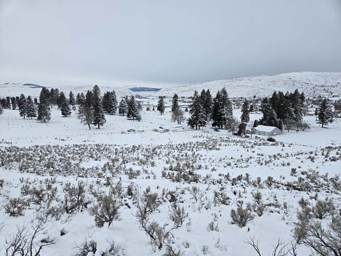
An arctic front forecast to sweep from north to south through Baker County late Monday, Feb. 10, bringing clear skies and frigid air, could lead to record-setting low temperatures later in the week.
Trending
The National Weather Service is predicting temperatures to dip below zero at the Baker City Airport on Tuesday and Wednesday, Feb. 11 and 12, and possibly on Thursday, Feb. 13. The agency has issued a cold weather advisory, in effect until 9 a.m. Thursday.
After a relatively mild first half of winter, the coldest air of the season moved in late last week.
The temperature at the airport plunged to 9 below zero on Feb. 8.
Trending
That was far from a record, however.
The record for Feb. 8 is 27 below zero, set in 1989. That was during one of the most severe cold snaps on record at the airport, where temperature records date to 1943.
Record low temperatures were set on six straight days from Feb. 4-9, 1989. The lows for those days were 25 below, 25 below, 25 below, 28 below, 27 below and 22 below.
Record lows aren’t quite so extreme for the period Feb. 11-14, however.
• Feb. 11: forecast low, 2 below (record, 4 below, 1982)
• Feb. 12: forecast low, 9 below (record, 7 below, 1949)
• Feb. 13: forecast low 2 above (record, 10 below, 1949)
Temperatures typically are a few to several degrees colder at the airport, which sits near the lowest part of Baker Valley, than in Baker City, which is about 70 feet higher.
Because cold air is relatively heavy, it tends to settle in low spots. Among the usually chillier parts of the valley are near the airport and between Baker City and Haines.
Marketplace


-
eEdition

-

-
