Storms push snowpack to record highs in some places
Published 7:30 am Thursday, December 26, 2024
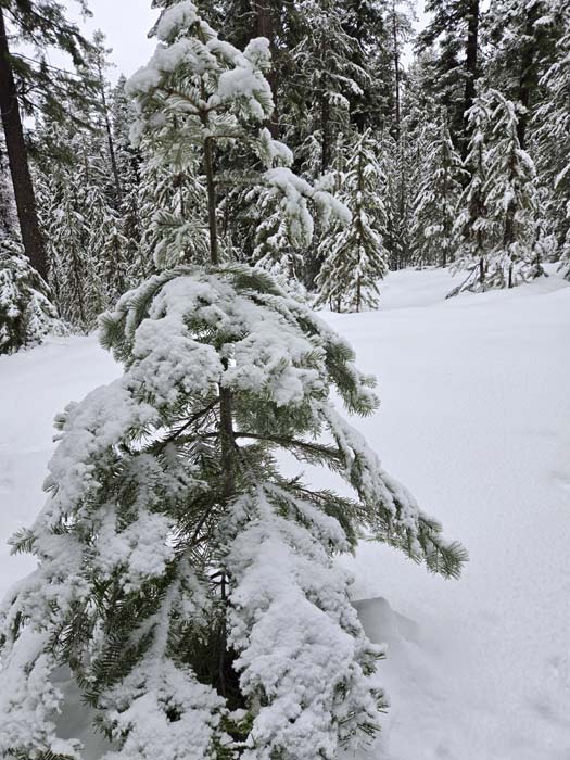
- A snow-draped fir tree near Blue Springs Summit on Dec. 22, 2024. The water content in the snowpack at an automated station was at a record high on Dec. 26, 2024.
After a fast start followed by a couple weeks of doldrums leading up to Christmas, the mountain snowpack in Northeastern Oregon has accelerated its accumulation again.
Bolstered by a storm over Christmas night, the first in a series of systems predicted to arrive through New Year’s Day, the water content in the snow has reached a record high for Dec. 26 at a few automated measuring sites.
The water content — a more important statistic than snow depth, since it reflects the amount of actual moisture in the snowpack — is well above average at almost all sites.
Although temperatures have been warmer than usual, with mainly rain falling in Baker and other valleys, most of the precipitation has been snow at elevations where the region’s network of Sno-tels, which automatically measure the snowpack.
(The stations calculate the water content by weighing the snow that piles up on a “pillow” filled with a liquid that doesn’t freeze even in sub-zero temperatures.)
Generally, the snowpack is especially prodigious in the southern Wallowa Mountains and in the Elkhorn Mountains west of Baker City.
The Sno-tel at Taylor Green, near West Eagle Meadows in the Wallowas east of Medical Springs, reported a water content of 14.3 inches on Thursday morning, Dec. 26. That’s the most for that date since the station was installed in 1979. The previous record was 13.2 inches in 1984.
At Gold Center, on the west side of the Elkhorns between Granite and Sumpter, the water content Thursday morning was 8.8, a new record for the date, surpassing the 7.9 inches on that date in 2001. The Sno-tel at Gold Center was installed in 1980.
At Eilertson Meadow, along Rock Creek on the east side of the Elkhorns, the water content Thursday morning was 7.2 inches, the second-most for Dec. 26. The record is 7.5 inches, in 1983. The Sno-tel was installed in 1980.
The deepest snow in the region is in the southern Wallowas.
At Schneider Meadows, north of Halfway, the water content Thursday morning was 20.4 inches, the most since 1996 and the fourth-highest for the date since the Sno-tel was installed in 1980.
The snow depth was 76 inches, with eight inches of new snow since Christmas Day.
Storms have been much less potent on the north side of the Wallowas, even at much higher elevations than Schneider Meadows.
A Sno-tel near Aneroid Lake, for instance — 7,400 feet, 2,000 feet higher than Schneider Meadows — the water content Thursday morning was less than half, at 9 inches. The snow depth, at 34 inches, was also less than half what was measured at Schneider Meadows.
In the northern Blue Mountains, the water content Thursday morning at High Ridge, near Tollgate, was 12.9 inches. Although that’s about 50% above average, it’s not in the top 10 for Dec. 26.