Heat continues, lightning sparks new fires
Published 7:10 am Tuesday, September 3, 2024
- 458262870_937089388462694_3492407910456283267_n.jpg
September has arrived but so far the weather, and the wildfire situation, looks quite a bit like August and July in Baker County.
Torrid temperatures the first two days of the new month have tied one heat record at the Baker City Airport.
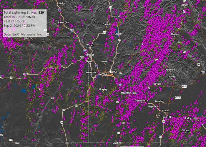
And lightning has started several new fires in the region, which has already set a record for acres burned this summer. As of Tuesday morning, Sept. 3, none of the blazes had prompted any evacuation notices.
The biggest fire is actually burning in Idaho, across Brownlee Reservoir from Oregon. The Mineral Fire, about 20 miles northwest of Weiser, Idaho, was estimated Tuesday afternoon at 20,000 acres. The fire has burned down to the reservoir, on the Idaho side, across from the Hibbard Creek and Fox Creek areas on the Oregon side.
In Baker County, the Hoover Grade Fire burned about 60 acres near Sparta Road, about 5 miles northwest of Richland.
The Ritter Creek Fire burned about 50 acres about 3 miles south of Love Reservoir, between Highway 86 and Interstate 84.
Fire crews from local volunteer departments and other agencies stopped both blazes.
Lightning also started two fires near Interstate 84 about 8 miles northwest of Ontario on Monday.
The Butterfly Gulch Fire is 80% contained at 312 acres, and the Jacobsen Gulch Fire, at 10 acres, should be contained Tuesday afternoon, said Larisa Bogardus, public affairs officer for the BLM’s Vale District.
More fires are likely to show up later Tuesday from a series of thunderstorms that moved through Baker County late Monday and into Tuesday morning.
Hoover Grade Fire
Dave Kingsbury, chief of the Eagle Valley Fire Protection District, said he was en route to a fire reported near Sparta Butte, which is outside his district, on Monday morning, Sept. 2, when a local rancher reported a fire on Hoover Grade, just west of the Sparta Road west of New Bridge.
(Fire crews from other agencies never found the reported fire near Sparta Butte.)
Kingsbury said the Hoover Grade Fire was relatively slow-moving once a gusty wind subsided Monday morning. Firefighters from multiple agencies responded, including the North Powder Fire District, the BLM and Forest Service.
Crews built control lines around the fire, finishing in the afternoon, Kingsbury said. The fire burned on both public and private land. The fire burned about a mile or so southwest of the perimeter of the Town Gulch Fire, which burned 18,234 acres in August. Kingsbury said single-engine air tankers also dropped retardant to prevent the fire from moving off a ridge into a nearby drainage.
Later in the day, however, gusty winds from nearby thunderstorms caused the fire to flare up, he said.
Islands of sagebrush and grass inside the control lines burned, but the fire stayed within the lines, Kingsbury said.
He estimated wind gusts at 45 mph. The winds were so strong, Kingsbury said, that while he was sitting in his side-by-side, talking to a Forest Service employee who was in a pickup truck, gusts propelled the sandy soil common in that area through his vehicle and into the pickup truck.
He said the Forest Service worker told him he had to clean the truck’s interior later because so much sand had accumulated.
A wind gust of 58 mph was reported at the Baker City Airport at 5:02 p.m. on Monday.
Kingsbury said he expects additional lightning fires will be reported Tuesday once the sun and warming temperatures dry ground wetted by rain overnight and into the morning.
Other fires reported during the Labor Day weekend include a 2-acre fire about 24 miles southwest of Baker City, north of Whitney, a 0.1-of-an-acre fire near Littlefield Ditch north of Old Auburn Road about 11 miles southwest of Baker City, and a fire of 0.06 of an acre near Harris Creek, in the Huckleberry Mountain area about 20 miles southwest of Baker City. All were controlled.
Heat records
After a comparatively cool second half of August, the heat returned with the month. The high on Sept. 1 at the Baker City Airport was 98, one degree below the record for the date. The high on Sept. 2 was 94 degrees.
The latter tied the airport’s all-time record for 90-degree-plus days in a calendar year, at 47, set in 2021.
That record was broken on Wednesday, Sept. 4, when the high at the airport was 91 degrees, bringing the 2024 total to 48 days.
There were five days with a high of 90 or higher in June, 22 such days in July and 18 in August.
It looks all but certain that 2024 will extend the record to at least 50 days.
The National Weather Service is forecasting highs above 90 on five more days in a row, Sept. 5-9. If that’s accurate, this year’s record total of 90-degree-plus days would reach 53.
Other records that have fallen this summer at the airport, where temperature statistics date to 1943:
• July was the hottest month on record, with an average high temperature of 94.9 degrees. The previous record was 92.3 degrees, in July 2021.
• July also set a record for the number of triple-digit days in a month, with 10 (previous record was five, set in August 1961) and a calendar year (previous record was eight, in 1961). August extended the record with two more triple-digit days, bringing 2024’s total to 12.
• The high of 109 degrees on Aug. 2 tied the all-time record set on Aug. 10, 2018.