Out and about: Walking where the Stump Dodger once rolled
Published 2:52 pm Friday, September 1, 2023

When I ponder the rich history of the Sumpter Valley Railroad I tend to think not of sights and sounds but rather of smells.
Trending
The acrid black smoke belching from locomotives.
The metallic tang of the rails warmed by the passing wheels.
But mostly I imagine the pines.
Trending
The powerful and pleasant scent of freshly felled ponderosas, stacked in the railcars as they rolled through the mountains and down the Powder River to the sawmill in south Baker City.
The sharp and astringent sap.
The aroma of the bark from the great old trees, a combination that to my nose has always suggested a mixture of cinnamon and vanilla, something today’s food chemists, with their ersatz concoctions, would inject into coffee creamer and yogurt and ice cream bars.
The history of that narrow-gauge railroad — the famous Stump Dodger — is for me among the more compelling chapters in the chronicle of Northeastern Oregon.
Its brevity belies its significance.
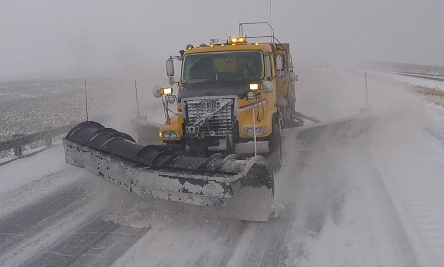
Although the Stump Dodger hauled its final load of logs in 1947 — a decade after it ceased passenger service and just 57 years after crews started laying tracks south from Baker City — its remnants persist.
(I mean here the original remnants, not the revived Sumpter Valley Railroad, which began in 1971. Today’s iteration of the Stump Dodger carries passengers on a scenic route between McEwen and Sumpter. More information at sumptervalleyrailroad.org.)
Those original remains are not so conspicuous.
The rails and the ties were yanked from the ground soon after that last run in June 1947.
The great trestles that spanned gullies were likewise removed.
But the grades, hacked so laboriously through the torturous terrain, linger in many places.
Some were, naturally enough, converted to roads, since motor vehicles are much less constricted by the lay of the land than the powerful but cumbersome wood-powered steam trains.
I hiked a section of road that follows one of these abandoned grades recently, on a scenic shoulder of the divide between the Powder River to the north and the Burnt River to the south.
(A range of elevated ground I christened more than a decade ago as the Burnt Powders. The cartographic establishment, alas, has shown a conspicuous lack of interest in my suggestion.)
I picked this road near the head of Clear Creek — the number is 680, and there’s even a sign — not quite at random, but neither with any thoughts of the Stump Dodger.
I was perusing a topographic map for a route that lacked steep grades but that seemed, at least based on my interpretation of the map and knowledge of the country, would likely yield views of the Elkhorns on a sunny Sunday.
It happens that the first of those criteria meshes neatly with the needs of the engineers who laid out the Sumpter Valley Railroad.
J.B. Bane, archivist for the Sumpter Valley Railroad, said a major spur off the Stump Dodger mainline, known as the Curry Line, climbed the Clear Creek canyon to the divide between the Powder and Burnt rivers.
The Curry Line, named for a logging camp in the Sumpter Valley now beneath Phillips Reservoir, itself had multiple branch lines along China, Pole Bridge and Trout creeks, among others, on the Burnt River side of the ridge, Bane said.
The Sumpter Valley Railroad stretched as far as Prairie City, 80 miles from Baker City. The rails reached that final terminus in 1910.
I find it a fascinating exercise to imagine taking that trip before the First World War, when the horse was far more esteemed — and useful — than the automobile, and the airplane the province of addle-brained thrill-seekers.
It was a much slower journey, of course, than we are accustomed to. Louder, too, as the cars clanked along.
But I suspect it was far more thrilling, too, compared with the stultifying effect of our comfortable steel cocoons, climate controlled and with the sounds of our choice issuing from half a dozen or more stereo speakers.
Yet it’s those pines — the first and primary purpose for the Stump Dodger’s construction — that interest me even more.
Although paying passengers were confined to the mainline, the Stump Dodger’s iron tentacles stretched in their dozens to reach the vast timber resources that attracted the railroad’s founders, David Eccles and C.W. Nibley.
These abandoned grades are among the more tangible evidence of the Stump Dodger. When I drive — or better still walk, without the distractions of operating a vehicle — I think about how much has changed over a century or more.
But also what has not.
The 680 road, for instance, runs through an area with outcrops of granitic rocks, part of a formation that extends west to Larch Summit along Highway 7. These boulders, tumbled atop one another in the haphazard way of ancient stone, surely haven’t been altered since the Stump Dodger was rumbling past. For rocks that date back more than 140 million years, the passage of a century is imperceptible.
And the great ramparts of the Elkhorns, looming across Sumpter Valley, are equally unchanged.
(Although I suppose the whitish-gray scar of the lime quarry along Baboon Creek, which postdates the railroad, is an exception, albeit a minor one compared with the scale of the mountains.)
It pleases me, in a way which is difficult to express, to think, and not implausibly, that I appreciate the same vistas that the men did who worked here a century or more ago.
The railroad grade, and today’s 680 Road, are on the north side of the divide. The cooler, shadier side, since it’s not so exposed to the sun as the south-facing slope. This is reflected in the composition of the forest — more tamaracks and fewer ponderosa pines. This would be a fine place for a hike on a sunny day in late October, when the tamaracks’ needles seem almost to fluoresce as they turn to gold just before they fall, creating the inimitable carpet of the autumn woods.
The road continues for about 3 miles, to a knob just east of the series of summits that make up Huckleberry Mountain.
Given the gentle grade, it is not a terribly taxing hike.
The most notable impediment isn’t the terrain but a shrub — patches of snowbrush ceonathus, a type of chaparral with branches so tenacious, once they latch on, that they seem to me almost sentient, crowd the tread in a few places.
Obstacles that surely weren’t here 100 years ago, when the locomotives went this way bearing their fragrant and valuable loads.
I wonder if some of the boards sawed from those thick pines might yet be around, wall studs that have held up houses but remain forever hidden behind lath or plaster.
Drive Highway 7 south from Baker City toward Sumpter. Just before Milepost 29 (about 20 miles from Baker City) and just beyond a sign marking the boundary of the Wallowa-Whitman National Forest, turn left onto paved Hudspeth Lane. Follow the road, which crosses the Powder River, for about 1.3 miles. There’s a gate here across part of the road, but go around on the right. The gravel road, which becomes Forest Road 1170, passes through parcels of private property but the road itself is a public route. Private roads that branch off are typically marked; watch for no trespassing and private property signs.
After about 2.5 miles the road’s origin as a Sumpter Valley Railroad grade becomes obvious. Unlike a typical logging road, which is hacked from the slope with a cutbank on the uphill side and a slope on the opposite side, Road 1170 in several areas has cutbanks on both sides, the hallmark of a former railroad grade.
Almost exactly 3 miles from the gate, the road bears sharply to the left to curve around a draw. One of the major trestles on the Sumpter Valley Railroad crossed this draw. To see the chasm that the trestle spanned, stop where the road turns and walk straight ahead to where the ground drops away. The trestle terminated hundreds of feet away, to the southwest.
Continue driving on Road 1170 for about 3.7 more miles. The road becomes rougher as you go, with deep potholes, but any vehicle with decent ground clearance shouldn’t have any trouble. Just before the road meets Road 11, the Skyline Road, the 680 road branches off to the right and continues for about 3 mainly flat miles.
After the hike, you can either retrace your route on Road 1170, or drive west on the Skyline Road — a generally well-maintained gravel road, much smoother than 1170 — for about 8.5 miles to its end at Highway 7 near Milepost 20, about 29 miles from Baker City. Turn right, cross Larch Summit and descent to Sumpter Valley.


-
eEdition

-

-
